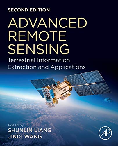
Advanced Remote Sensing: Terrestrial Information Extraction And Applications
Explore the cutting-edge techniques and diverse applications of remote sensing in Advanced Remote Sensing: Terrestrial Information Extraction and Applications. This comprehensive guide delves into advanced methodologies for extracting valuable information from remotely sensed data, with a focus on terrestrial environments. Discover the latest advancements in sensor technology, image processing algorithms, and data analysis techniques. Gain insights into how remote sensing is used to address critical challenges in various fields, including agriculture, forestry, urban planning, and environmental monitoring.
Learn about advanced topics such as hyperspectral imaging, LiDAR data processing, and synthetic aperture radar (SAR) interferometry. Examine case studies illustrating the use of remote sensing for precision agriculture, forest inventory, urban heat island mapping, and natural disaster assessment. This book provides a detailed overview of the theoretical foundations and practical implementations of remote sensing, making it an essential resource for researchers, practitioners, and students in the field. Understand the principles behind extracting biophysical parameters, land cover classification, and change detection using remote sensing data. From basic concepts to advanced applications, this book offers a thorough exploration of the capabilities and limitations of remote sensing for terrestrial information extraction.
- Condition: New book with shrink wrap.
- Book format: Paperback
- Exercise and Prep access codes are NOT included.
Only logged in customers who have purchased this product may leave a review.


Reviews
There are no reviews yet.